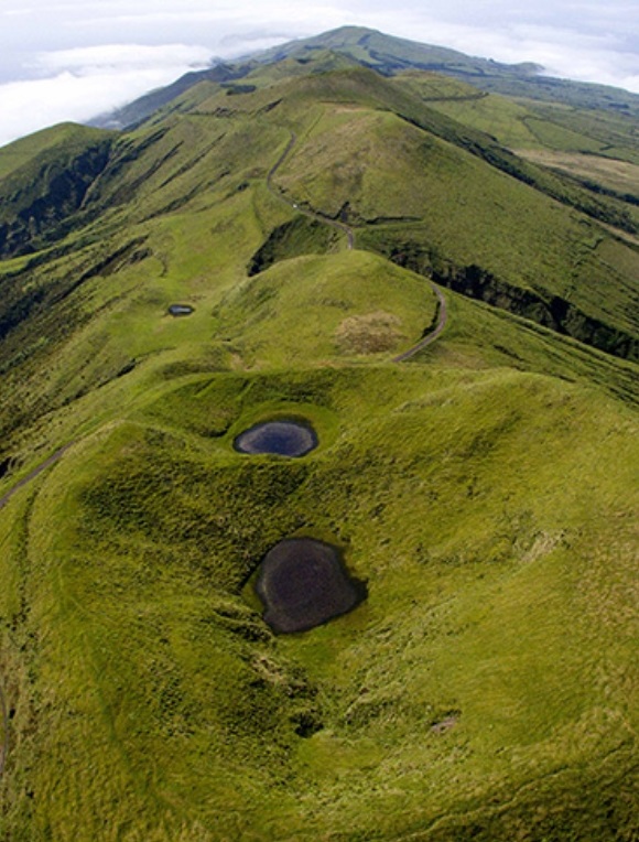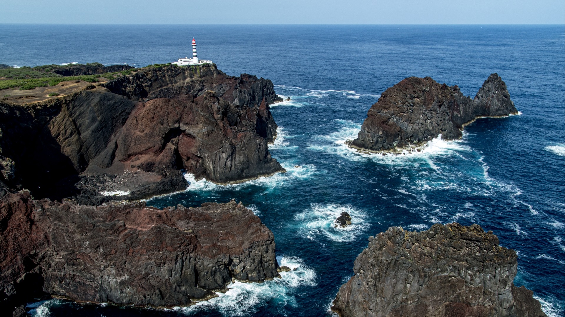
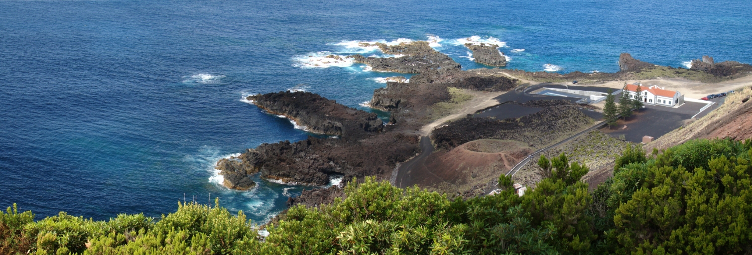
All nine islands of the Azores Archipelago are of volcanic origin and are located in the North Atlantic, scattered along a 600 km stretch of ocean, from Santa Maria to Corvo, approximately between 37° and 40° north latitude and 25° and 31° west longitude.
According to 2011 data, 246,772 people live in this island territory that covers 2,325 sq.km, distancing 1,600 km from mainland Europe (Portugal) and 2,454 km from the North American continent (Canada).


The geographic location of the Azores islands, in the context of global atmospheric and oceanic circulation, conditions the climate of the archipelago. Atmospheric circulation is commanded by the Azores Anticyclone, whose position, intensity, progress and orientation influence the weather conditions experienced in the archipelago.
Thus, the climate in the Azores is characterized by high levels of air humidity, thermal amenity, low insolation rates, regular and abundant rainfall and a regime of vigorous winds.
More informations at: